763
AXNT20 KNHC 151027
TWDAT
Tropical Weather Discussion
NWS National Hurricane Center Miami FL
1205 UTC Wed May 15 2024
Tropical Weather Discussion for North America, Central America
Gulf of Mexico, Caribbean Sea, northern sections of South
America, and Atlantic Ocean to the African coast from the
Equator to 31N. The following information is based on satellite
imagery, weather observations, radar and meteorological analysis.
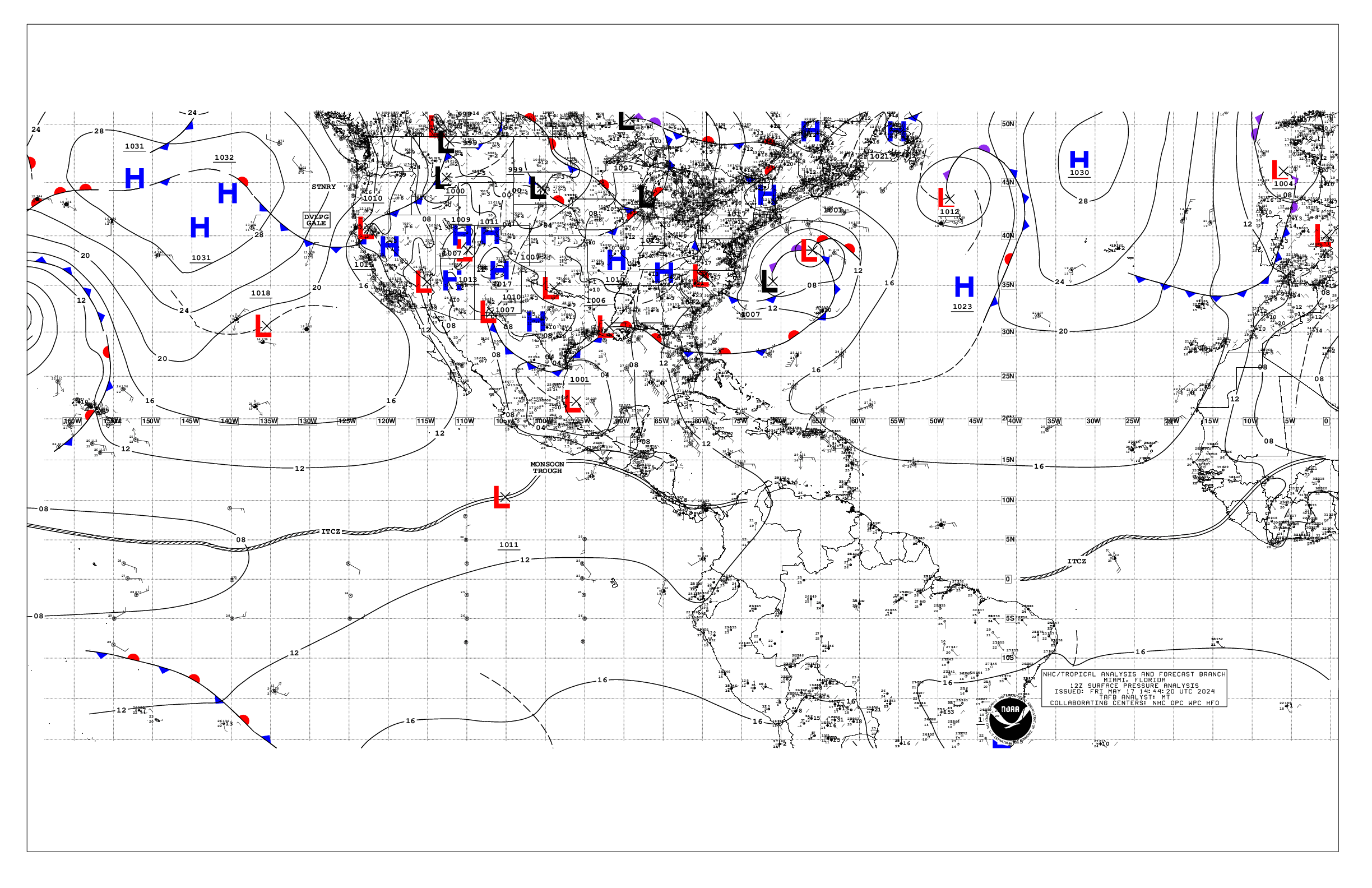
Based on 1200 UTC surface analysis and satellite imagery through
1000 UTC.
...SPECIAL FEATURES...
Eastern Atlantic Ocean Gale Warning: Pulsing gale-force winds are
forecast in the Agadir area of the Meteo-France high seas
forecast, specifically through 15/03 UTC, then again from 15/12
UTC to 16/00 UTC. Seas of 8-10 ft are possible with these winds.
Please read the latest High Seas Forecast is issued by Meteo-
France at https://wwmiws.wmo.int for more details.
...MONSOON TROUGH/ITCZ...
The monsoon trough passes through the coastal plains of Guinea-
Bissau near 11N15W to 03N30W. The ITCZ continues from 03N30W to
06N44W to 07N53W. Scattered moderate to isolated strong
convection is noted from the Equator to 08N between 10W and 25W,
and from 02S to 08N between 30W and 54W.
...GULF OF MEXICO...
A cold front over the NW Gulf extends from the Alabama coast near
Tampico, MExico. Ahead of the front, a pre-frontal trough extends
from 29N83W to 25N90W. Showers and isolated thunderstorms are
occurring along and east of the front to the Florida coast N of
244N. Another surface trough is depicted over the Yucatan
Peninsula and it is producing convection over the Yucatan and near
its coast. Moderate to fresh return flow is east of front, with
gentle to moderate NE winds west of the front. Seas are in the 4-
6 ft range east of the front, and in the 3-5 ft range west of the
front.
For the forecast, the front will lift as a warm front later today
and linger across the northern Gulf over the next few days. This
will shift the focus of heavy rain and thunderstorms to the
northern Gulf on Thu and Fri. Elsewhere, moderate to fresh return
flow will dominate the basin, pulsing to locally strong near the
Yucatan Peninsula and the Bay of Campeche. Winds will slightly
weaken during the weekend as the gradient relaxes. Meanwhile, haze
due to agricultural fires in Mexico continues across most of the
western Gulf and Bay of Campeche.
...CARIBBEAN SEA...
A relatively tight pressure gradient is across the basin, with
fresh to strong winds in the NW Caribbean, particularly in the
Gulf of Honduras, and in the south-central Caribbean. Seas range 5
to 9 ft in these areas Moderate to fresh E-SE winds are
elsewhere. Seas are 2-5 ft across the rest of the basin. Scattered
moderate convection is noted in the SW Caribbean S of 13N near
the monsoon trough.
For the forecast, the strong winds in the Gulf of Honduras will
persist through Sun. Winds in the south-central basin will improve
tonight into Thu, but strong winds will return by the weekend.
Moderate to rough seas are expected with these winds. Gentle to
moderate winds are expected elsewhere through the weekend.
Meanwhile, haze due to agricultural fires in Central America
continues across some areas of the northwestern Caribbean.
...ATLANTIC OCEAN...
Please refer to the Special Features section for details on a
Gale Warning in the East Atlantic Ocean.
In the SW N Atlantic off the Florida coast, fresh to strong winds
prevail with seas to 8 ft. In addition, numerous moderate to
strong convection is noted moving off the Florida coast, N of 29N
and W of 74W. Meanwhile, ridging extends over the rest of the
Atlantic offshore waters between 51W and 74W anchored by a 1020 mb
high pressure near 33N66W. Light to gentle winds and slight seas
are under the influence of this high.
In the central Atlantic, a weak cold front extends from 31N48W to
23N54W with a surface trough following the front to 22N66W.
Scattered moderate convection is along and ahead of the front, N
of 25N and W of 44W. Moderate southerly winds and seas in the 5-6
ft range are N of 29N between the front and 45.5W.
In the eastern Atlantic, a 1029 mb high pressure near 41N32W
dominates the waters. Gentle to moderate trades prevail across the
open waters along with seas in the 4-7 ft seas, except fresh to
strong winds N of 18N between the coast of Africa and 21W.
For the forecast, a cold front will push off the NE Florida coast
by Thu and extend from 31N68W to 29N81W Fri morning, and weaken
as it extends from 31N61W to 28N71W Sat morning. Fresh to strong
winds will continue ahead of the front through Fri along with
showers and thunderstorms. Conditions will improve by Fri night
into the weekend as the front dissipates. Tranquil conditions are
expected this weekend.
$$
AReinhart