619
AXNT20 KNHC 121739
TWDAT
Tropical Weather Discussion
NWS National Hurricane Center Miami FL
1805 UTC Sun May 12 2024
Tropical Weather Discussion for North America, Central America
Gulf of Mexico, Caribbean Sea, northern sections of South
America, and Atlantic Ocean to the African coast from the
Equator to 31N. The following information is based on satellite
imagery, weather observations, radar and meteorological analysis.
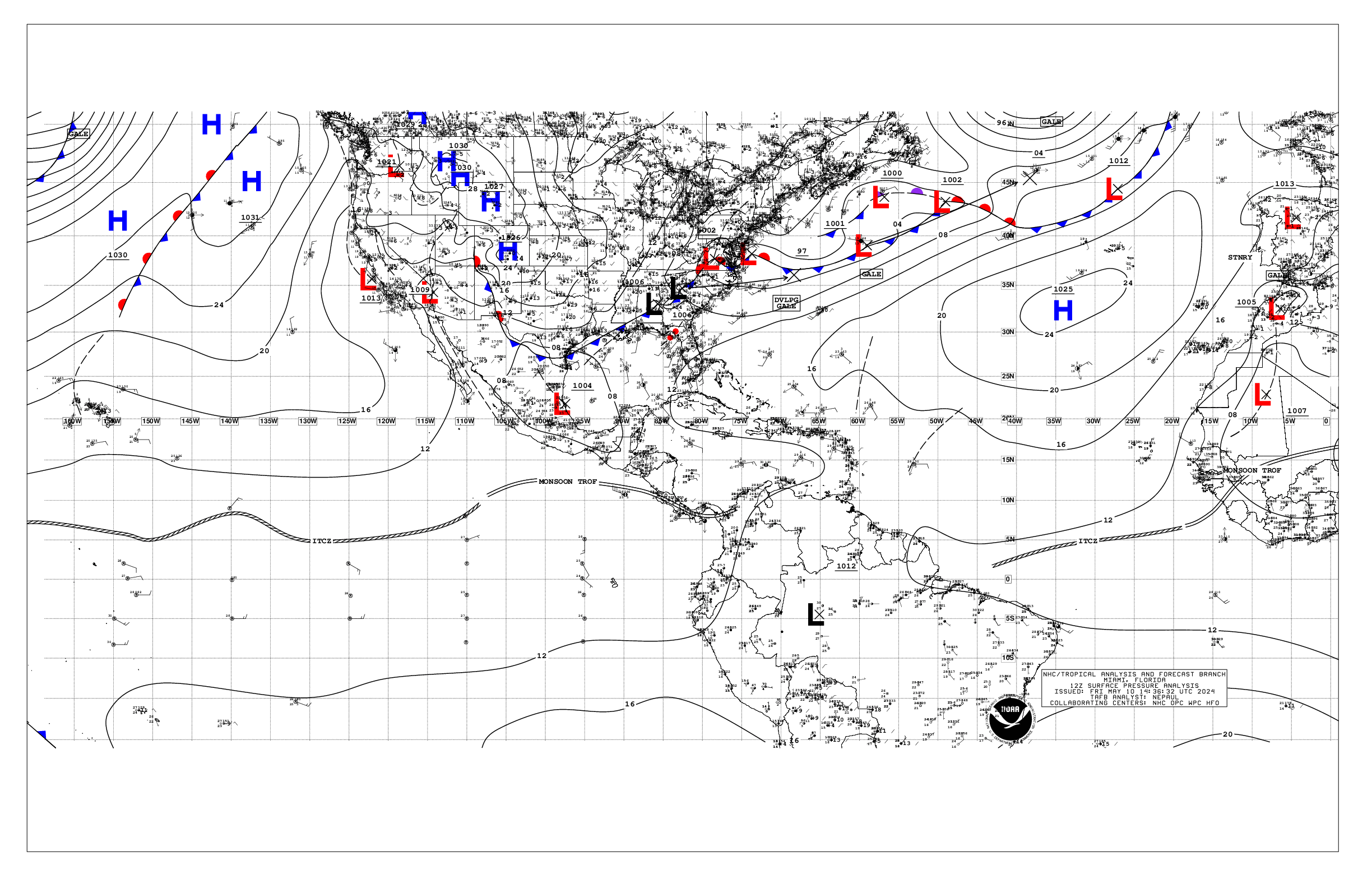
Based on 1200 UTC surface analysis and satellite imagery through
1700 UTC.
...MONSOON TROUGH/ITCZ...
The monsoon trough axis extends passes off the coast of Africa
near 13N16W and continues southwestward to 08N20W, where it
transitions to the ITCZ and continues to 04N30W to 00N50W.Scattered
moderate to isolated strong convection is noted south of 08N and
east of 20W.
...GULF OF MEXICO...
A dissipating cold front from near Florida Bay to 26N87W
continues as a warm front to the middle Texas coast. The front
will wash out through the day. Fresh SE winds are noted over the
NW Gulf. Easterly winds of moderate or less speeds are elsewhere.
Seas are 3 to 5 ft west of 90W, with the highest seas near 28N95W.
Seas are below 3 ft east of 90W.
For the forecast, high pressure will build in its wake tonight
through the early part of the week. An inverted trough may develop
over the western Gulf early this week where it may linger through
at least mid-week. Mainly moderate to fresh return flow will
dominate the basin, pulsing to strong near the Yucatan Peninsula
and Yucatan Channel. Meanwhile, haze due to agricultural fires in
Mexico continues across most of the western Gulf and Bay of
Campeche.
...CARIBBEAN SEA...
A weak pressure gradient prevails across the Caribbean and
maintains moderate trade winds over most of the basin. The
exception is the Gulf of Honduras, where fresh to strong east to
southeast winds remain rather persistent there as seen in a recent
ASCAT pass. Seas are slight to moderate across the basin, with
peak seas to 6 ft in the Gulf of Honduras.
Rather stable atmospheric conditions under a broad anticyclone
aloft prevail across most of the basin. The eastern segment of
the east Pacific monsoon trough reaches eastward into the
southwestern Caribbean and into northern Colombia helping to
sustain the aforementioned shower and thunderstorm activity.
Isolated showers are over some sections of the eastern Caribbean.
This activity may increase to that of the scattered type today
over some areas, including islands, of the northeast part of the
basin as mid to upper-level atmospheric conditions become more
favorable for the enhancement of convective activity.
For the forecast, high pressure over the central Atlantic will support
strong to near gale E to SE winds near the Gulf of Honduras,
moderate to fresh winds in the south-central and in the
southeastern Caribbean, with gentle to moderate winds elsewhere
today and tonight. The pressure gradient will tighten early this
week, with fresh to strong trade winds expected in the S-central
and in the northwestern Caribbean, and moderate to fresh trade
winds elsewhere. Seas will build next week as a result of the
increasing winds. Meanwhile, haze due to agricultural fires in
Central America continues across some areas of the northwestern
Caribbean.
...ATLANTIC OCEAN...
A cold front is analyzed from 31N65W to 26N70W and to the
northern Bahamas, where it intercepts a 1012 mb low pressure
center near 26N78W. A weak cold front extedns from the low to the
Florida Keys. Moderate winds are behind the front, with 3 to 5 ft
seas. Moderate to fresh southerly winds are ahead of the front,
north of 28N and west of 60W, where seas are 4 to 7 ft. Scattered
thunderstorms are within 90 nm ahead of the front, north of 27N.
The remainder of the basin is dominated by a broad 1030 mb high
pressure system centered to the southwest of the Azores. The
pressure gradient between this ridge and relatively lower
pressures in northwest Africa result in fresh to strong northerly
winds north of 15N and east of about 30W, with the strongest winds
off Morocco. Seas in the area described are in the 6 to 8 ft
range. Elsewhere, moderate or weaker winds and moderate seas are
prevalent.
For the forecast W of 55W, the aforementioned The front will
weaken as it reaches from near 31N60W the Central Bahamas by early
Mon, then dissipating from near 27N55W to 22N65W by early Tue
with high pressure building in its wake. Fresh to strong southerly
winds and building seas are forecast offshore N Florida by Tue
ahead of another possible cold front. That front may reach from
near 31N76W to 27N80W by early Thu.
$$
Mora