000
AXPZ20 KNHC 212132
TWDEP
Tropical Weather Discussion
NWS National Hurricane Center Miami FL
2205 UTC Tue May 21 2024
Tropical Weather Discussion for the eastern Pacific Ocean from
03.4S to 30N, east of 120W including the Gulf of California, and
from the Equator to 30N, between 120W and 140W. The following
information is based on satellite imagery, weather observations,
radar, and meteorological analysis.
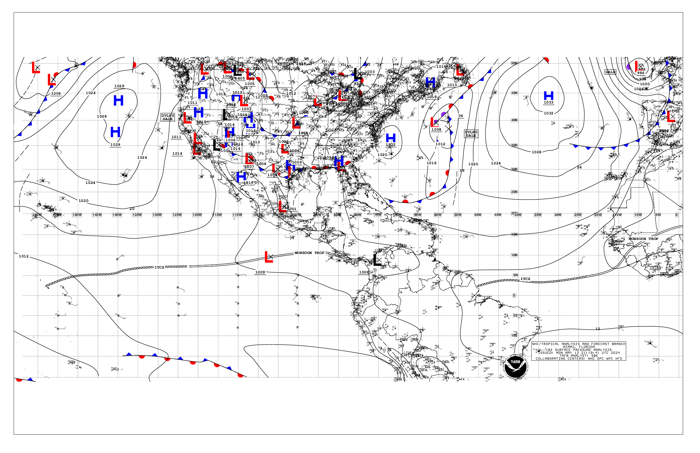
Based on 1800 UTC surface analysis and satellite imagery through
2100 UTC.
...INTERTROPICAL CONVERGENCE ZONE/MONSOON TROUGH...
The monsoon trough extends off the coast of Costa Rica near
10N86W to a 1008 mb low pressure near 11N107W to 08N125W. The
ITCZ extends from 08N125W to beyond 07N140W. Scattered moderate
to isolated strong convection is noted from 03N to 14N between
78W and 112W.
...OFFSHORE WATERS WITHIN 250 NM OF MEXICO...
Strong high pressure continues to stretch across the NE Pacific
southeastward to near 18N114W. The ridge is supporting mostly
moderate NW to N winds over the waters W of Baja California with
locally fresh winds around Punta Eugenia. Light to gentle winds
prevail between Cabo San Lucas and the Revillagigedo Islands.
Seas are 6 to 9 ft in NW swell north of Cabo San Lazaro, and 6
to 8 ft in a mix of NW and S swell south of Cabo San Lazaro.
Elsewhere, including the Gulf of California, light to gentle
winds prevail, with 3 to 5 ft seas at the entrance of the Gulf
and 2 ft or less elsewhere. Seas of 5 to 6 ft in SW swell
dominate the remainder of the Mexican offshore waters. Smoke
from regional agricultural fires has spread light to medium haze
across the offshore waters over southern Mexico which could
reduce visibilities.
For the forecast, the surface ridge will continue to dominate
the offshore forecast waters of Baja California through the
week. Moderate to fresh NW to N winds W of the Baja California
peninsula will continue through Sat night. NW swell moving
across the Baja California offshore waters will persist through
Thu. Seas of 8 to 10 ft N of Punta Eugenia will continue through
Wed, then subsiding below 8 ft on Fri. Winds in the Gulf of
California could increase to moderate to locally fresh Wed night
through Sat night. Light to medium haze from smoke caused
by agricultural fires over Mexico could reduce visibilities over
the southern Mexico offshore waters through Wed.
...OFFSHORE WATERS WITHIN 250 NM OF CENTRAL AMERICA, COLOMBIA,
AND WITHIN 750 NM OF ECUADOR...
Scattered moderate to isolated strong convection continues to
impact the offshore waters from Costa Rica to Colombia, N of 05N
and E of 89W. These storms are bringing frequent lightning
strikes and likely gusty winds and locally rough seas. Exercise
caution in this area.
South of monsoon trough around 09N, gentle to moderate winds are
noted, including the South American offshore waters. North of
09N, light to gentle winds prevail elsewhere. Seas are 6 to 7 ft
across the Ecuador and Galapagos Islands offshore waters due to
long period SW swell. Otherwise, seas range 5 to 7 ft across the
rest of the offshore waters within long period SW swell. Smoke
from regional agricultural fires has spread light to medium haze
across the Central America offshore waters, as far south as
Nicaragua, which could reduce visibilities.
For the forecast, moderate to strong thunderstorms will keep
impacting waters from Costa Rica to Colombia through Thu. For
waters south of 09N, winds will be moderate to locally fresh
through Fri. North of 09N, light to gentle winds will prevail.
Long period SW swell bringing seas of 5 to 7 ft in SW swell will
persist across the Central and South American offshore waters
through the rest of the week. By the weekend, winds across the
rest of the area will be light to gentle with seas 4 to 6 ft. Light
to medium haze from smoke caused by agricultural fires over
Mexico could reduce visibilities over portions of the Central
America offshore waters through Wed.
...REMAINDER OF THE AREA...
High pressure of 1038 mb, located N of the forecast area near
39N144W, extends a ridge across the waters N of 14N and W of
112W. The pressure gradient between the ridge and lower pressure
along the ITCZ is forcing moderate to fresh NE to E trades N of
07N and W of 120W. Strong winds are pulsing along 12N and W of
137W. Seas are 7 to 9 ft in this area. Northerly swell is merging
with the swell from the trade wind zone, with seas 8 to 10 ft N
of 26N. South of 06N, gentle to moderate winds and seas of 6 to
8 ft in merging N and SW swell prevail W of 110W. Seas are 6 to
8 ft in mixed SW and SE swell. A 1008 mb low pressure near
11N107W is producing fresh to strong winds with seas 8 to 9 ft.
Moderate to strong convection is also noted within 150 nm of the
low. Smoke from regional agricultural fires in Mexico has spread
light haze across the high seas N of 09N between 92N and 108W,
which could reduce visibilities.
For the forecast, high pressure will remain in control of the
weather pattern across the area through the week. This will
maintain mostly moderate to fresh trade winds and moderate to
rough seas W of 120W. Strong winds will continue through today W
of 135W. Cross equatorial SW swell will continue to combine with
northerly swell to dominate area waters through Wed before
subsiding. Seas of 8 to 9 ft across the trade wind zone will
begin to slowly subside by Wed, and subside below 8 ft by Fri.
Haze from the agricultural fires in Mexico could reduce
visibilities in portions of the high seas N of 09N and E of 108W.
$$
AKR