000
AXNT20 KNHC 231003
TWDAT
Tropical Weather Discussion
NWS National Hurricane Center Miami FL
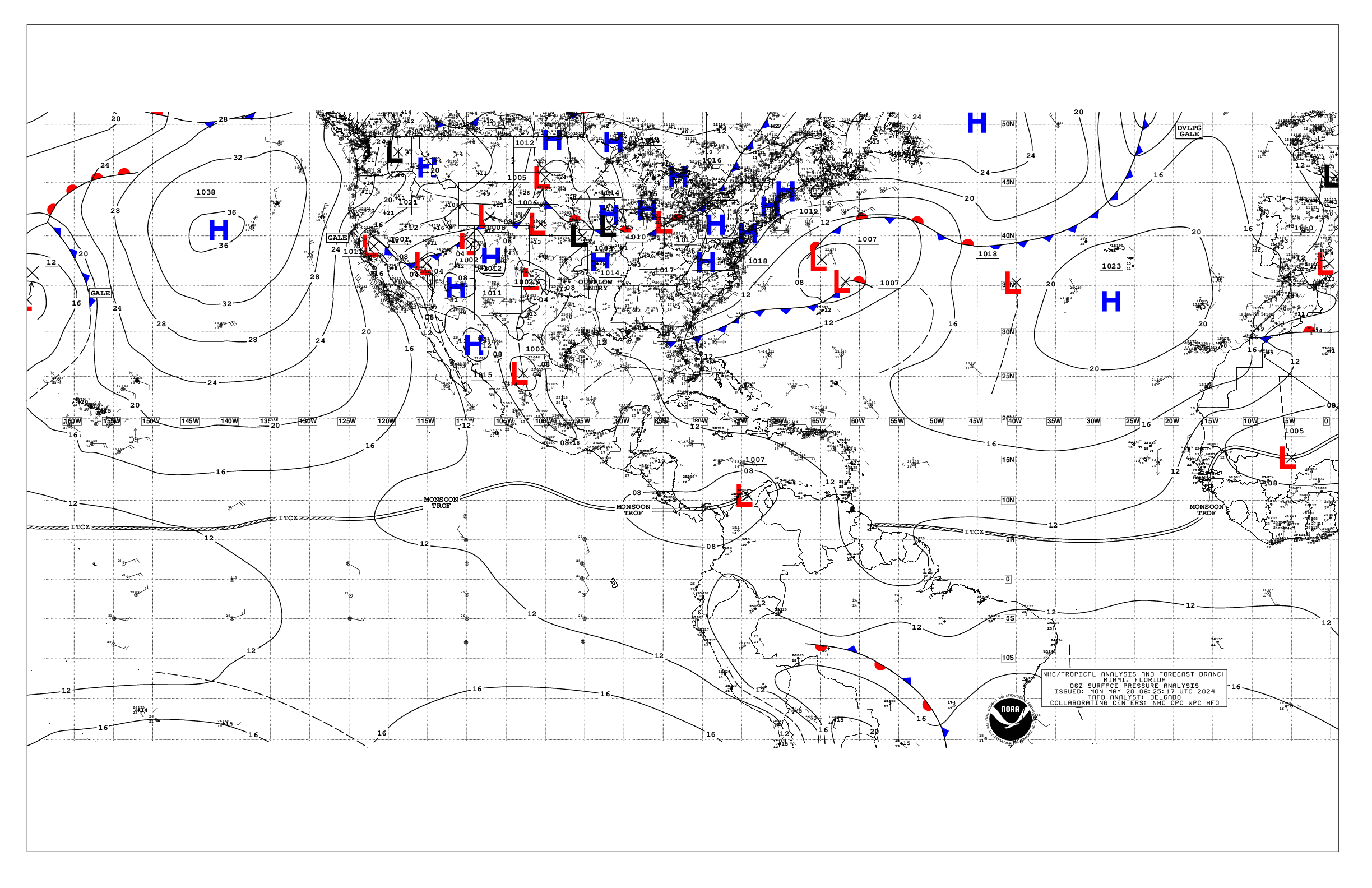
1205 UTC Thu May 23 2024
Tropical Weather Discussion for North America, Central America
Gulf of Mexico, Caribbean Sea, northern sections of South
America, and Atlantic Ocean to the African coast from the
Equator to 31N. The following information is based on satellite
imagery, weather observations, radar and meteorological analysis.
Based on 0600 UTC surface analysis and satellite imagery through
0730 UTC.
...SPECIAL FEATURES...
Significant Rainfall in the Caribbean: A deep-layered trough
currently extending from the western Atlantic well offshore of
North Carolina S-SW across central Cuba to Costa Rica is
promoting unstable atmospheric conditions from Colombia north and
northeastward across the Caribbean and western Atlantic between
75W and 60W. This feature will lift slowly northeastward and into
the Atlantic this afternoon through early Sat, and will combine
with abundant tropical moisture to support widespread deep
convection across eastern Cuba, Hispaniola, Puerto Rico and the
Virgin Islands through late Fri. The latest computer model
guidance suggests the highest rainfall accumulations will occur
across southern Hispaniola through Friday. Residents in the above
locations should remain alert for significant rainfall and
potential flash flooding. Please refer to your local weather
office for more specific information.
...TROPICAL WAVES...
A tropical wave is located along 44W, southward of 13N, and
moving westward at 15 to 20 kt. Scattered moderate isolated strong
convection is seen from 03N to 10.5N between 38W and 48W. Saharan
air is draped north of the wave, from 13N to 17N between 35W and
47W.
...MONSOON TROUGH/ITCZ...
A monsoon trough enters the Atlantic along the Senegal coast near
12.5N16.5W, then curves southwestward across 08N18W to 04.5N24W.
An ITCZ continues westward from 04.5N24W across 02N32W to 04N42W.
Scattered to numerous moderate to strong convection is N of 01.5N
to the African coast between 04W and 15W. Scattered moderate
convection is noted from 01.5N to 07N between 17W and 35W.
Scattered moderate isolated strong convection is noted from 03N to
10.5N between 38W and 53W.
...GULF OF MEXICO...
Stable atmospheric conditions generally prevail across the Gulf
this morning, behind the active upper trough across the western
Atlantic and western Caribbean. A board surface ridge persists
from the southeastern U.S. southwestward to the central Gulf.
Smoke and haze produced by agricultural fires in Mexico is
lingering over the western and central Gulf. Latest observations
indicate reduced visibilities of 4 to 6 nm mainly across the
western Gulf. Widely scattered showers dot the Texas and Louisiana
coastal waters north of 27N. Moderate with locally fresh E to SE
winds and seas at 4 to 6 ft are seen western and south-central
Gulf. Gentle to moderate E to SE winds and 2 to 4 ft seas prevail
across the rest of the Gulf.
For the forecast, hazy conditions due to smoke from Mexico will
continue across all but NE portions of the Gulf through Thu night.
High pressure will remain NE of the basin through the end of the
week, producing moderate to locally fresh E to SE winds across the
waters W of 90W, and gentle to moderate winds E of 90W. Winds
will become SE to S basin-wide tonight through Mon.
...CARIBBEAN SEA...
Please read the Special Features section about a Significant
Rainfall Event.
A pronounced mid to upper-level trough extends from the western
Atlantic well offshore of North Carolina south southwestward
across the northwest Bahamas, and across central Cuba to Costa
Rica is providing a broad zone of lift and upper divergent flow
across the central basin. Together with a surface trough through
the Windward Passage focusing abundant moisture across the
central basin, scattered showers and thunderstorms are occurring
from Colombia and western Venezuela, north and northeastward
across the Caribbean between eastern Cuba and the Anegada Passage.
Moderate with locally fresh E to ESE winds and seas of 4 to 6 ft
are present across the basin E of 74W, except for seas 7 to 8 ft
across the waters south of Haiti. Similar winds are across the
Gulf of Honduras and between Jamaica and eastern Cuba. Gentle E
to SE winds and 2 to 4 ft seas prevail elsewhere.
Smoke due to agricultural fires in Central America persists
across the Gulf of Honduras, and offshore from Nicaragua and Costa
Rica. Latest observations reveal reduced visibilities of 4 to 6
nm.
For the forecast, the surface trough across the NW Bahamas will
weaken and dissipate through Fri. A second surface trough
extending through the Windward Passage, across the SE Bahamas to
25N69W will drift eastward through Sat. Weak low pressure is
expected to develop along the trough just N of Hispaniola tonight
and shift N-NE through Sat, moving beyond 31N Sat night. The low
will be accompanied by fresh to locally strong winds and active
weather Fri through Sat.
...ATLANTIC OCEAN...
A sharp deep-layered trough extends from well offshore of North
Carolina south-southwestward across the NW Bahamas, across central
Cuba and to the SW Caribbean. Broad scale lift induced by this
feature and strong divergent flow aloft to the east of the trough
axis are coupling with modest convergent southerly surface winds
near a surface trough over the southeast Bahamas to generate
scattered moderate isolated strong convection from the northern
Caribbean across the Greater Antilles to the Atlantic between
60W and 74W. The heaviest rainfall in recent hours has been
occurring across the Virgin Islands and adjacent Atlantic waters
to the north and northeast.
A broad and weak surface ridge is anchored by a 1023 high center
near 27N53W, and is supporting gentle anticyclonic winds and seas
of 2 to 5 ft north of 22N between 35W and 74W. NW of the trough
across the NW Bahamas, gentle NE winds prevail with seas of 2 to 4
ft. Farther east, moderate SW to W winds along with 4 to 6 ft
seas are north of 28N between 32W and 40W. Near the Canary and
Cabo Verde Islands, fresh to strong NNE to NE winds and seas at 6
to 9 ft are evident north of 13N between the Africa coast and 25W.
South of the ridge, moderate to locally fresh NE to ENE trade winds
prevail across the tropics, where seas are 5 to 7 ft. A broad zone
of fresh E-NE winds are behind the tropical wave along 44W, and
are producing seas of 7 to 8 ft. Light to gentle monsoonal and
southerly winds along with seas at 5 to 7 ft prevail elsewhere E
of 30W in the Atlantic Basin.
For the forecast W of 55W, the aforementioned surface trough will
weaken and dissipate through Fri. A second surface trough
extending through the Windward Passage, across the SE Bahamas to
25N69W will drift eastward through Sat, in tandem with the deep
layered upper trough. Weak low pressure is expected to develop
along the trough just N of Hispaniola tonight and shift N-NE
through Sat, moving beyond 31N Sat night. The low will be
accompanied by fresh to locally strong winds and active weather
Fri through Sat.
$$
Stripling


